-
-
SETs at Biloxi Marshes
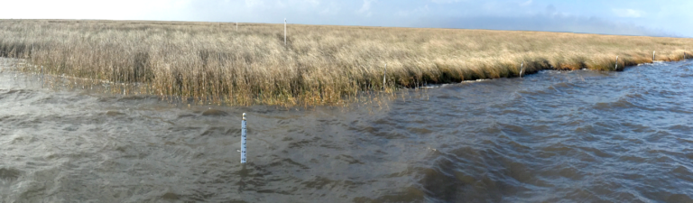
Surface Elevation and Accretion Data Gathering at Historical Plots in the Biloxi Marshes In 2003, University of New Orleans researchers established 30 surface elevation table (SET) sites with accretion markers at the Biloxi marshes. As part of the effort to include the Biloxi wetlands in the Coastal Master Plan (see Biloxi Marshes), these sites are…
-
-
-
Assimilation Wetlands
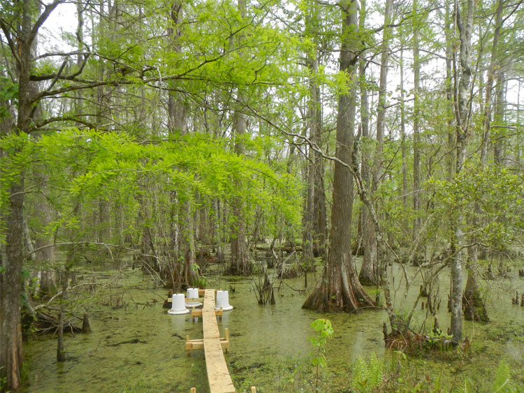
Assimilation wetlands are natural wetlands into which secondarily treated and disinfected effluent from a wastewater treatment plant is discharged to improve water quality and wetland sustainability. Nutrients in the municipal effluent increases wetland plant growth, and organic matter deposition on the wetland surface, which increases elevation and offsets subsidence and produces a positive feedback loop…
-
Biloxi Marshes
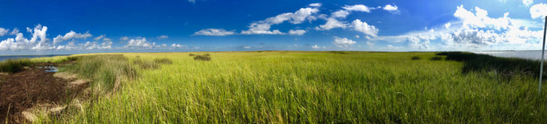
The Biloxi marshes are located southeast of New Orleans and consists of saline and brackish marshes that act as a storm barrier for the New Orleans-Slidell land bridge. In the absence of the Biloxi marshes, the land bridge and areas west, such as Lakes Pontchartrain and Maurepas, would transition from freshwater or intermediate to brackish…
-